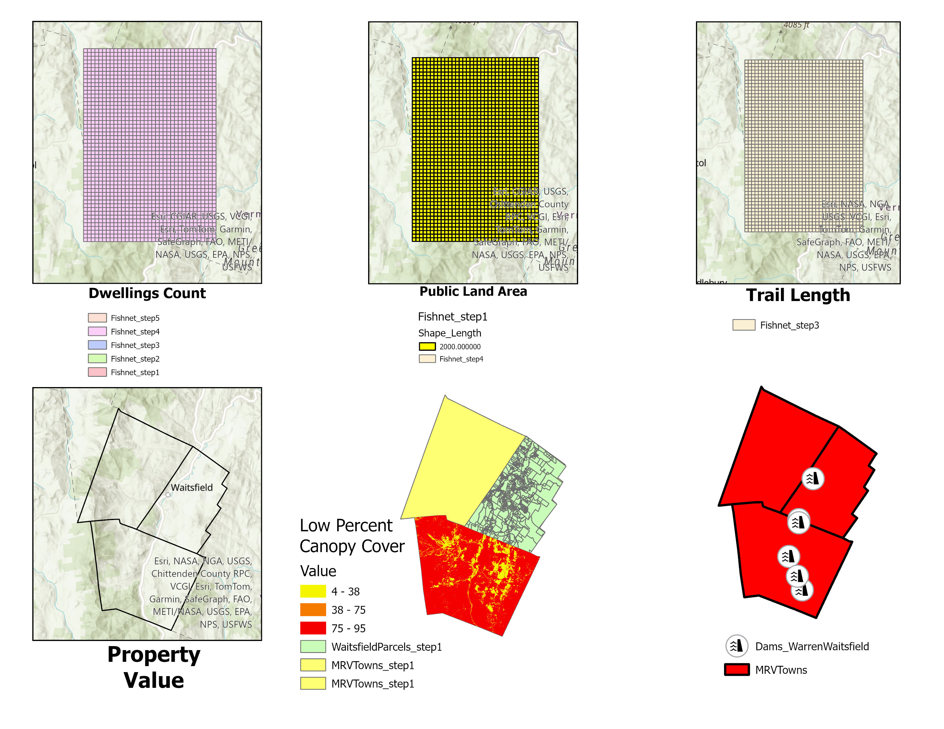
ArcGIS Fishnets Lab 3
Dennis and Dan,
The Advanced GIS Lab 3 output is terrible, so this URL is for you to peruse. As you can both tell, I do not understand the Fishnet concepts. None of this represents the hours I've put into it. Look up the time spent data on Brightspace. Generally, when I put this kind of time into a project, I have a good representation of the work.

Find a Dataset - Dams in Vermont Looked at the metadata Geoprocessing workflow. I downloaded the Dams, I selected them by towns and can report the Fayston does not have any Dams. I selected the Dams to only show in Warren and Waitsfield. I choose the Dam symbol to represent the location of the Dams. Doing what I described was not too bad a process. Trying to figure out the fishnet data and calculations is extremely difficult.
Thank you. Chris Jones
The following video is content that shows up on every page of this website and not related to ArcGIS.
Your second block of text...

